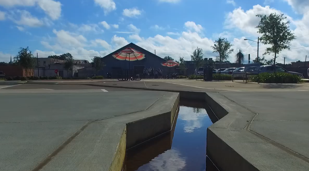
The Pearl River Interpretive Plaza is a scale model of the entire Pearl River Basin from Choctaw County to the Gulf of Mexico. The model uses flowing water from an artesian well which was both the first source of water and of electricity for the City of Columbia. First known as Lott’s Bluff, Columbia was settled as a river town when steamboats navigated along the river. The plaza’s design shows the counties through which the river flows, as well as significant landmarks along the way. In the Plaza’s Gulf of Mexico, a portion of the water is collected and used for irrigation of the plaza and the surrounding parking lot.


Recent Comments